Log in
All resources
Create a design
33,167 Free Images of 1552 Maps
maps made in the 18th century
atlantis magni tomus primus (biblioteca comunale di trento)
pieter schenk (i)
18th-century engravings
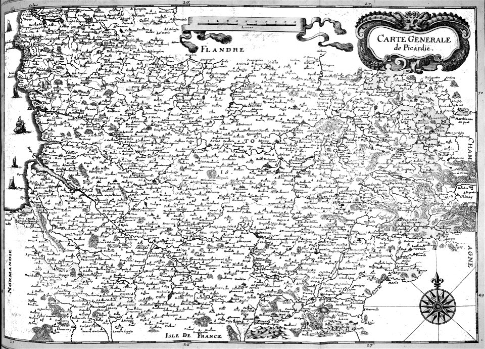
old maps of europe
war of the spanish succession
cities in europe
charts and maps of the royal museums greenwich
1672
johannes janssonius waasbergen
fonds ancely - bibliothèque municipale de toulouse - maps
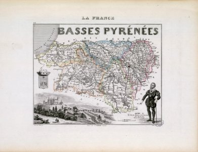
coats of arms of cities in pyrénées-atlantiques
1853
54
broad street
reading
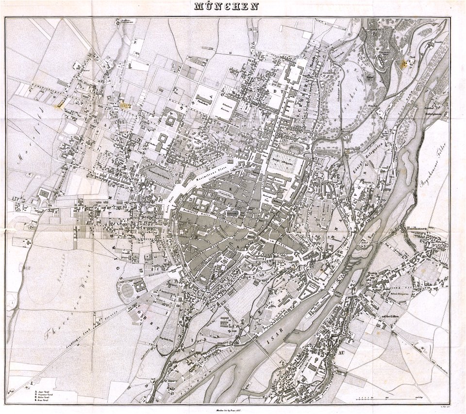
munich in the 19th century
old city maps of munich
munich in the 19th century
old city maps of munich
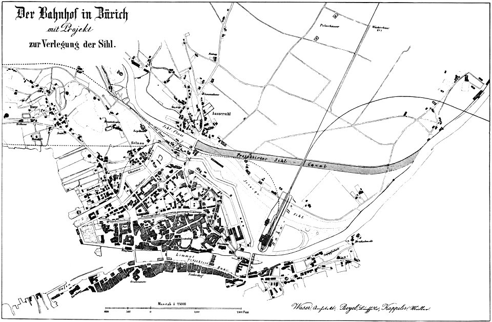
history of rail transport in switzerland
aussersihl
charts and maps of the royal museums greenwich
1590 maps
maps made in the 18th century
18th-century engravings
maps made in the 18th century
18th-century engravings
maps made in the 18th century
18th-century engravings
maps made in the 18th century
18th-century engravings
maps made in the 18th century
18th-century engravings
maps made in the 18th century
18th-century engravings
maps made in the 18th century
18th-century engravings
maps made in the 18th century
18th-century engravings
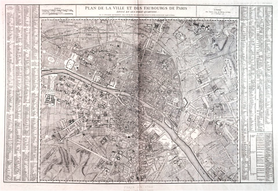
maps of paris from paris musées
1760 in paris
collections of the cabinet des estampes et des dessins
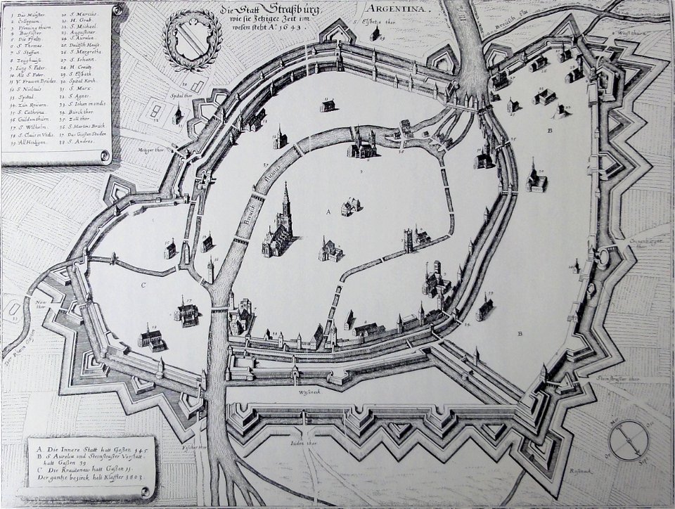
strasbourg
maps made in the 18th century
gerard valck
maps from the mechanical curator collection available to georeference
maps from the mechanical curator collection
maps made in the 18th century
gerard valck
maps in utrecht university library
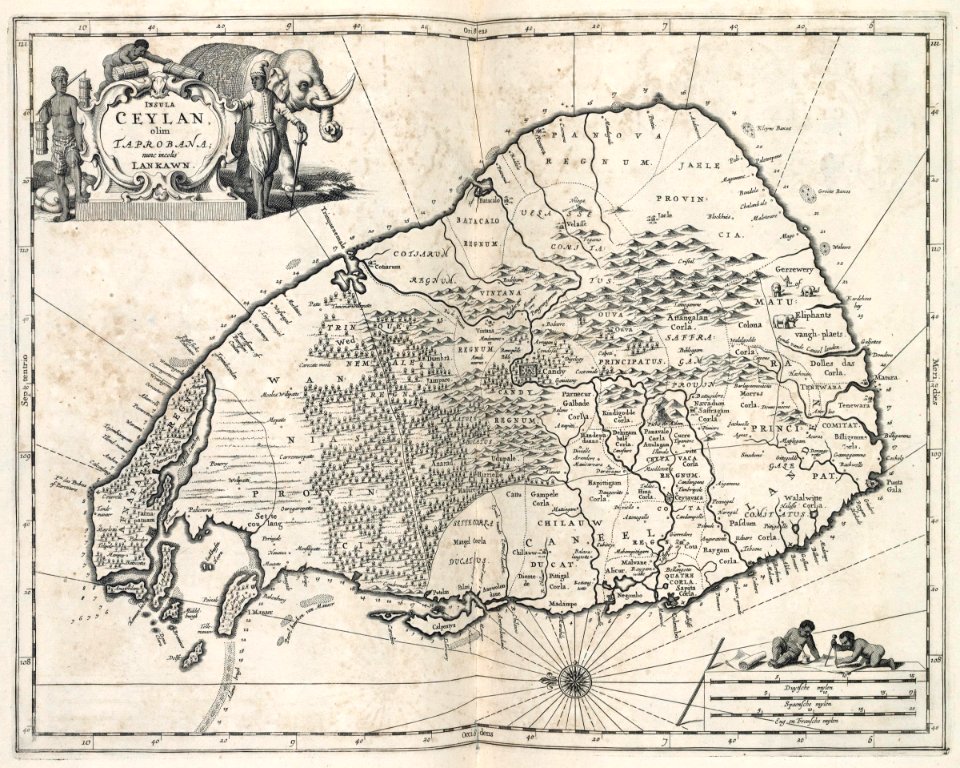
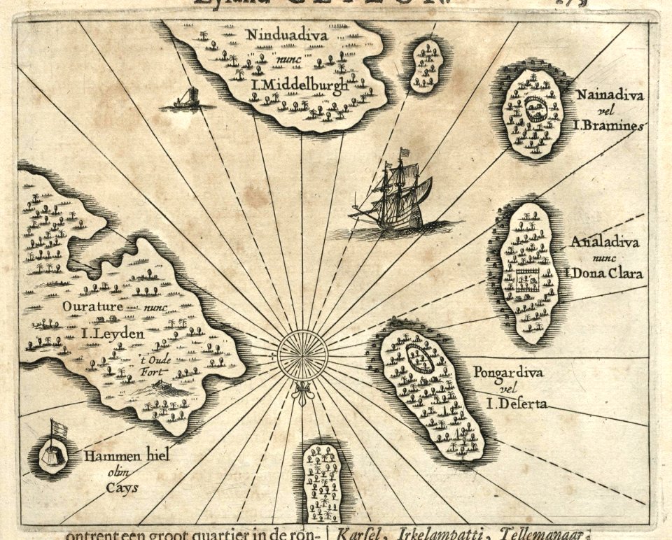
indonesia
engravings of topographia bohemiae moraviae et silesiae
history of kolín
maps and topographical views by joris hoefnagel
historical images of brno
historical maps of warsaw
barbakan in warsaw
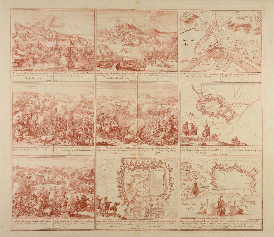
engravings of battles
willem blaeu
illustrations of cosmographia (münster)
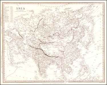
old maps of asia
rhaetiae et valesiae
merian helvetiae
avenionensis ditio et venaisinus comitatus (galleria delle carte geografiche)
maps of comtat venaissin
18th-century maps of the world
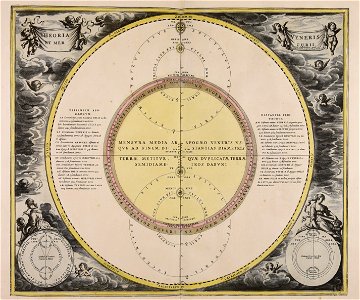
armillary spheres in art
illustrations from the archipelago on fire by léon benett
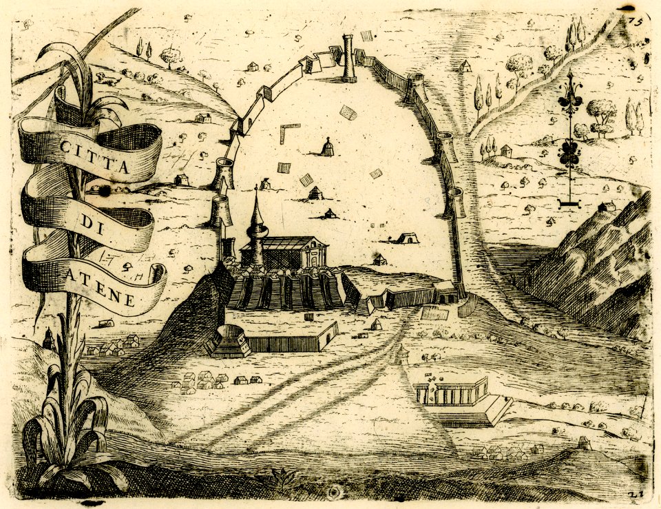
old maps of greece
kurtze beschreibung von republick venedig
17th-century engravings of towns
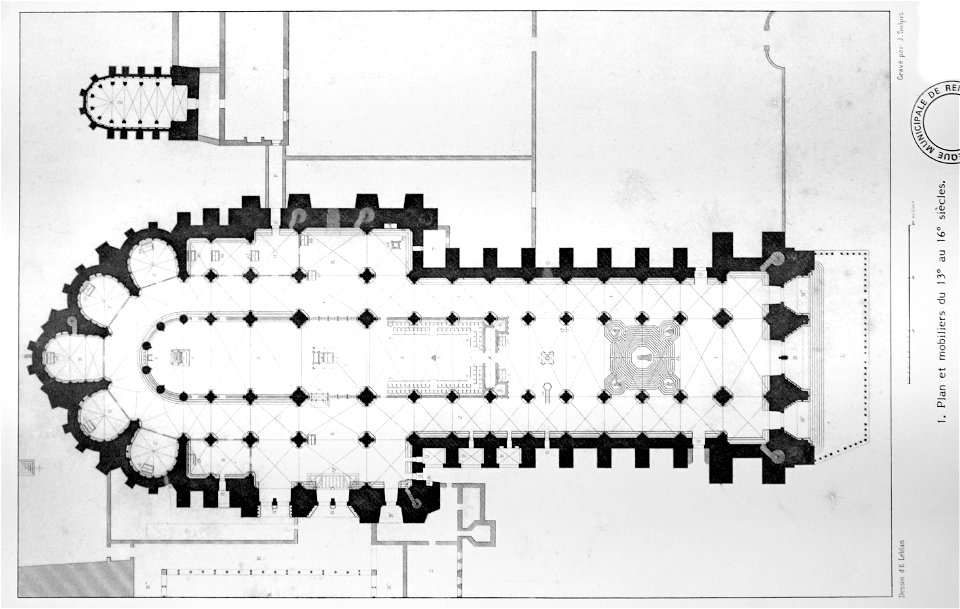
bibliothèque municipale de reims
rès. g 153
geographical illustrations by coronelli
old maps of the peloponnese
maps in the library of congress
california
geographical illustrations by coronelli
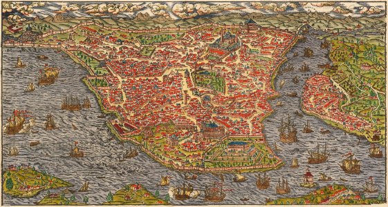
athens in the ottoman era
atlante veneto (raremaps.com) volume 2
republic of lucca
prints of battle of lepanto
giovanni camocio
prints by giovanni battista piranesi
old maps of rome
society for the diffusion of useful knowledge (great britain)
1840 maps of asia
geographical illustrations by coronelli
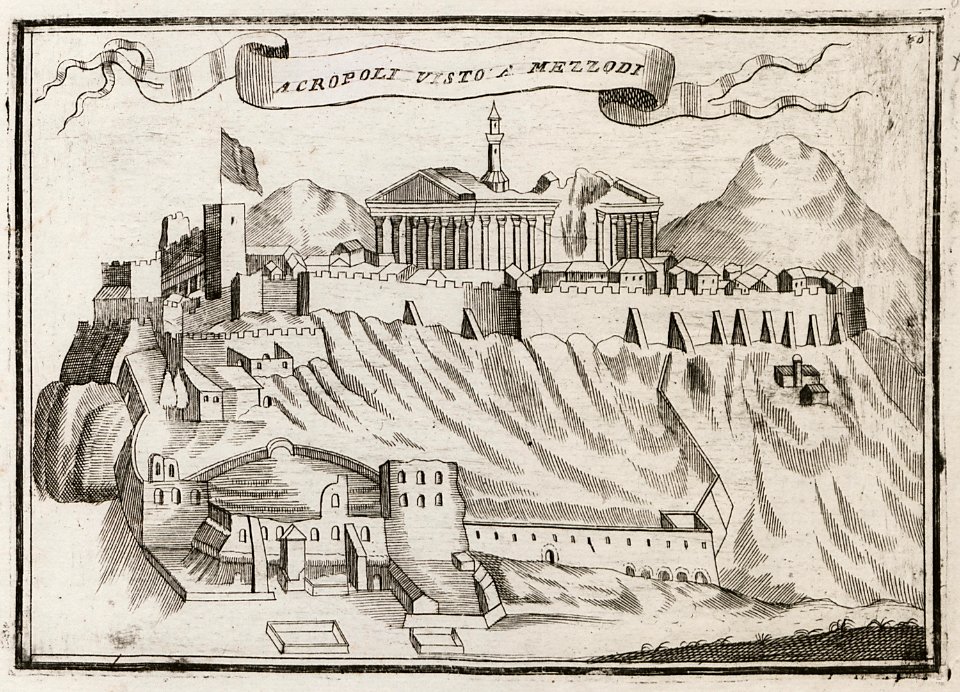
acropolis of athens in art
william elmes
printing
cosmographia (1628) by sebastian münster
old maps of the british isles
old maps of the british isles
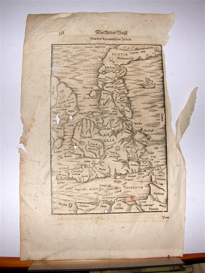
ptolemaic britain
frederick marryat
printing
kennebec river
maine
frederick marryat
printing
maps with cartouches
atlas van der hagen
maps with cartouches
atlas van der hagen
maps with cartouches
atlas van der hagen
atlas de wit 1698
frederick de wit
engravings of angels
fairies in art
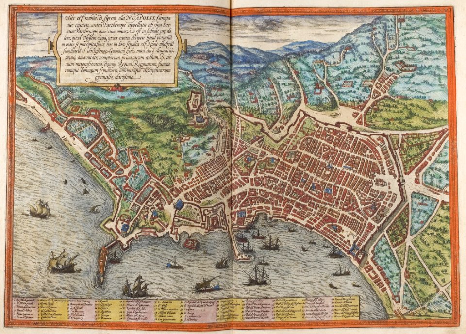
old maps of naples
braun & hogenberg
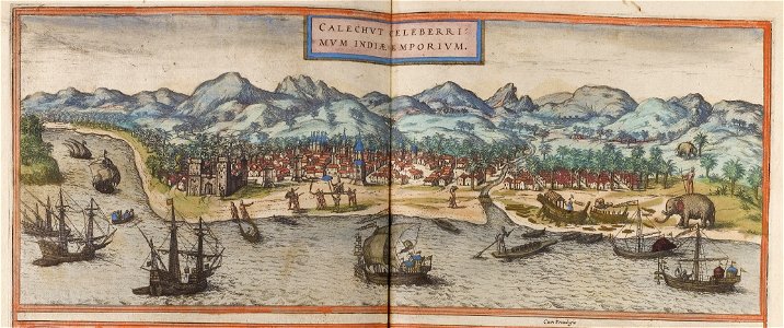
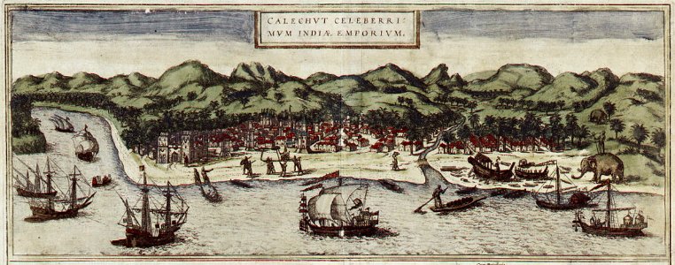
historical images of kozhikode
braun & hogenberg
braunschweig in the 1890s
old maps of braunschweig
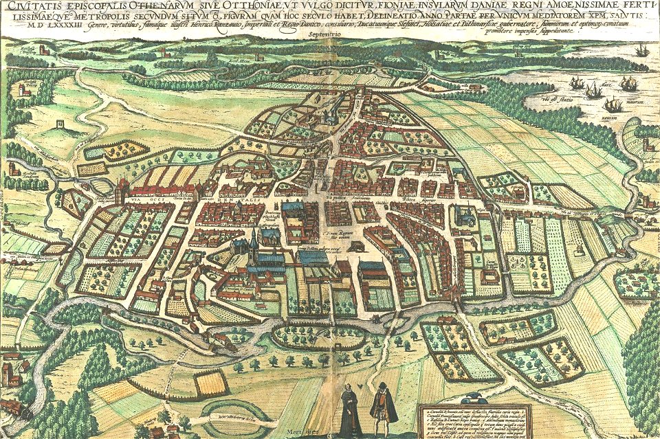
odense å
odense
historical images of kozhikode
braun & hogenberg
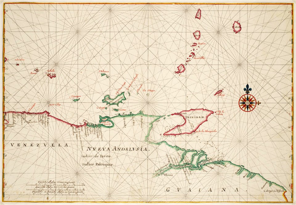
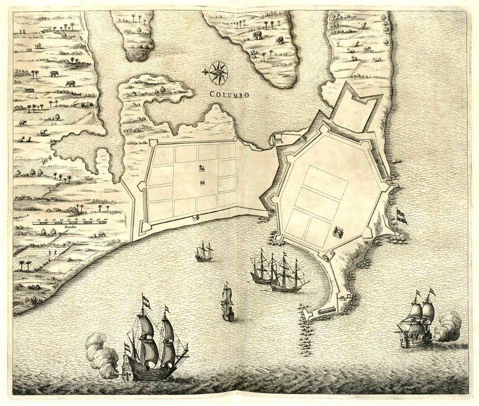
maps of the dutch east india company - india
1755
maps of the west-indische compagnie
1665
johannes janssonius waasbergen
1672
johannes janssonius waasbergen
1672
johannes janssonius waasbergen
1672
johannes janssonius waasbergen
1672
johannes janssonius waasbergen
1672
johannes janssonius waasbergen
1672
maps of the west-indische compagnie
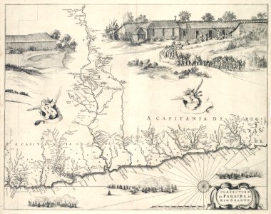
praefecturae de paraiba
trịnh lords
1732
maps by willem and johannes blaeu
emmerich am rhein in art
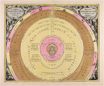
„atlas coelestis in quo mundus spectabilis“ by j.b. doppelmayr
double hemisphere world maps
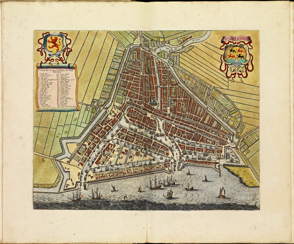
rotterdam in the 17th century
old maps of rotterdam
atlas de wit 1698
frederick de wit
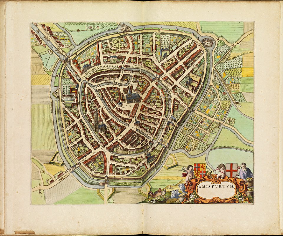
old maps of amersfoort
atlas de wit 1698
geographical illustrations by coronelli
athens in the ottoman era
illustrations of cosmographia (münster)
old maps of constantinople
netherlands in the 1660s
old maps of gelderland
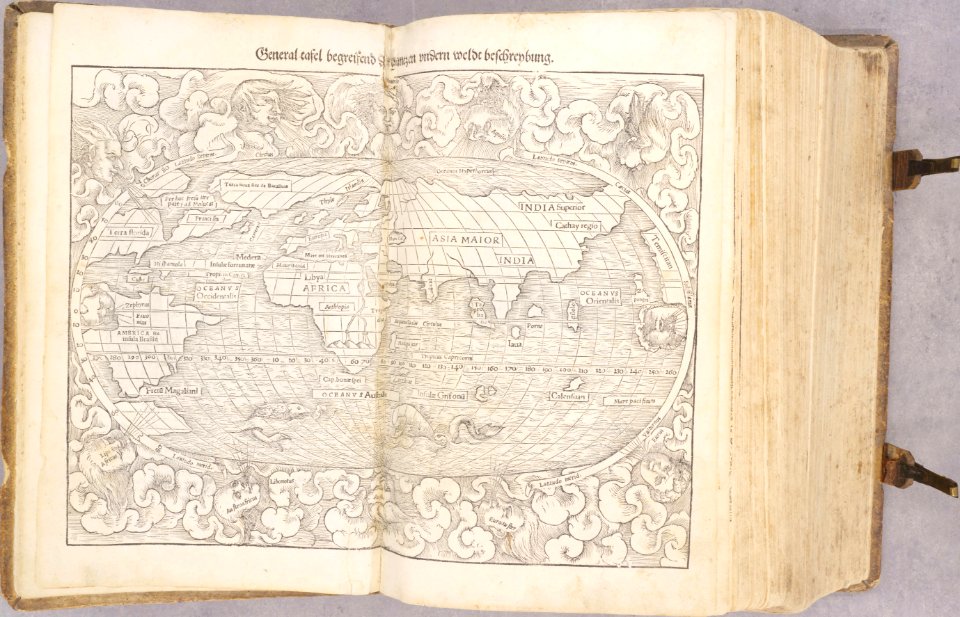
cosmographia - beschreibung aller lender durch sebastianum munsterum (1545)
1540s maps of the world
cosmographia - beschreibung aller lender durch sebastianum munsterum (1545)
old maps of the americas
ships on maps
brunsbüttel
bibliothèque municipale de reims
maps of reims
cento vedute di firenze antica
old maps of florence
bibliothèque municipale de reims
maps of the county of flanders
scans by the library of geneva
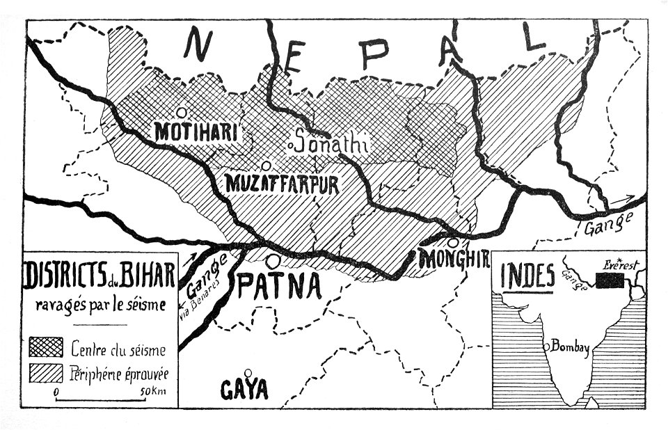
maps of bihar
drawings of france
1600s drawings
old maps of marseille
french navy bases
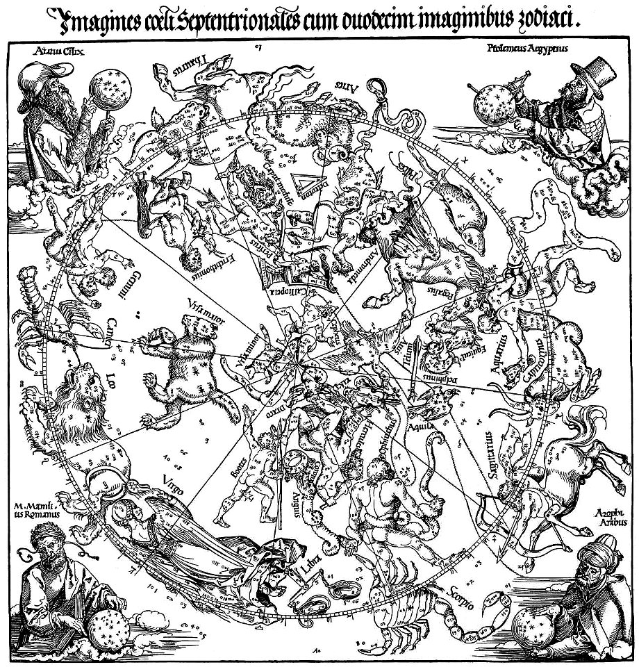
the northern hemisphere of the celestial globe by albrecht dürer
old celestial maps
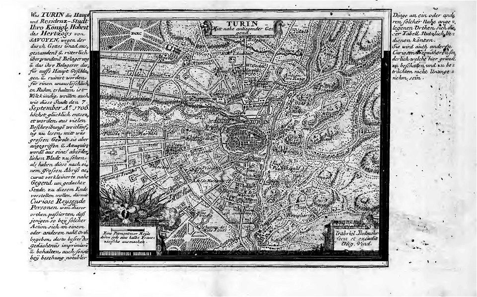
old maps of turin
history of turin
old maps of turin
history of turin
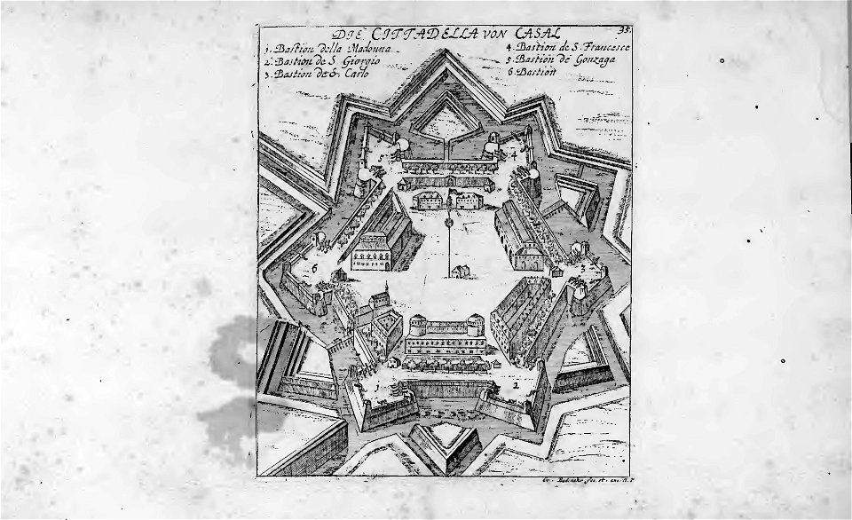
historical images of casale monferrato
old maps of casale monferrato
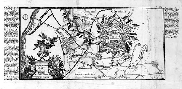
old maps of turin
history of turin
old maps of turin
history of turin
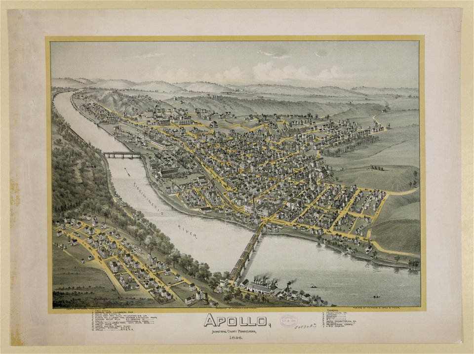
pennsylvania
apollo
prints from dankaerts historis at the peace palace library
old maps of bohemia
prints from dankaerts historis at the peace palace library
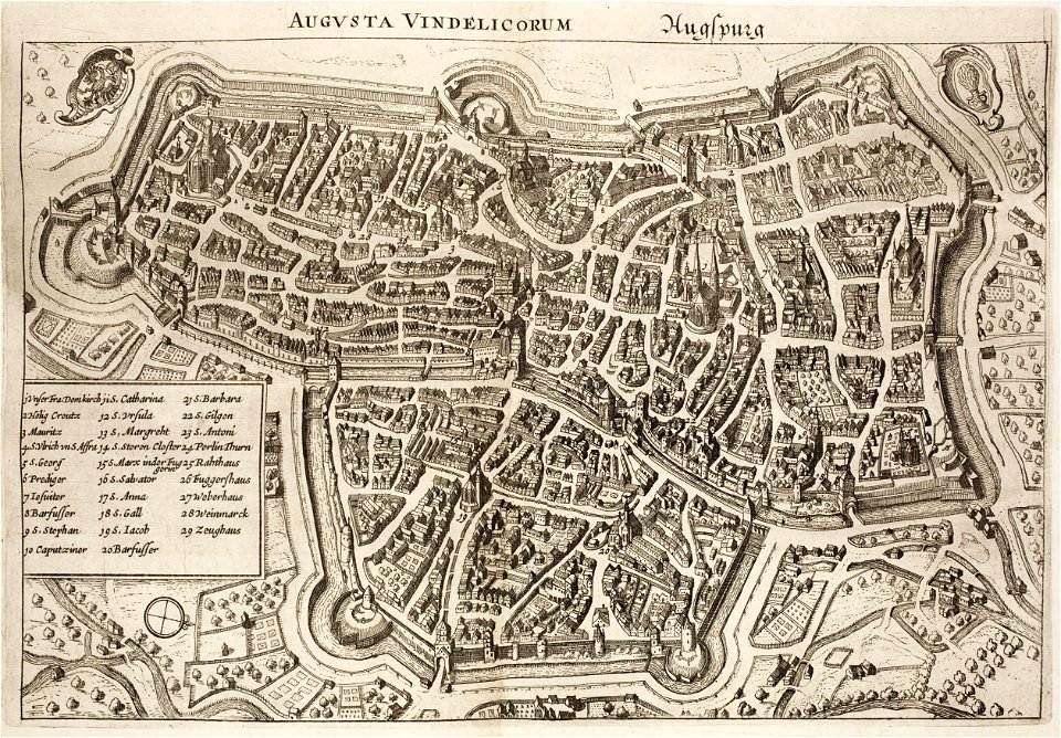
1640s maps of augsburg
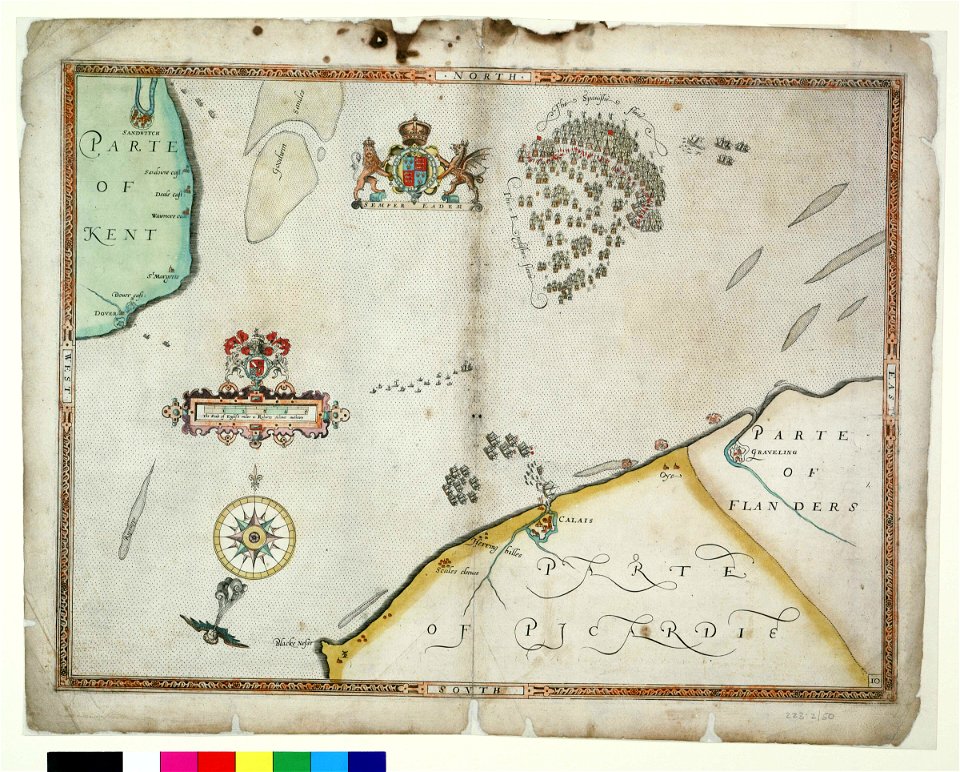
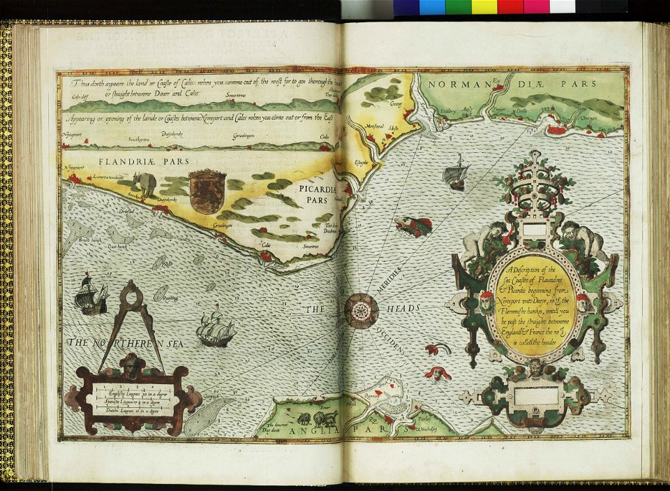
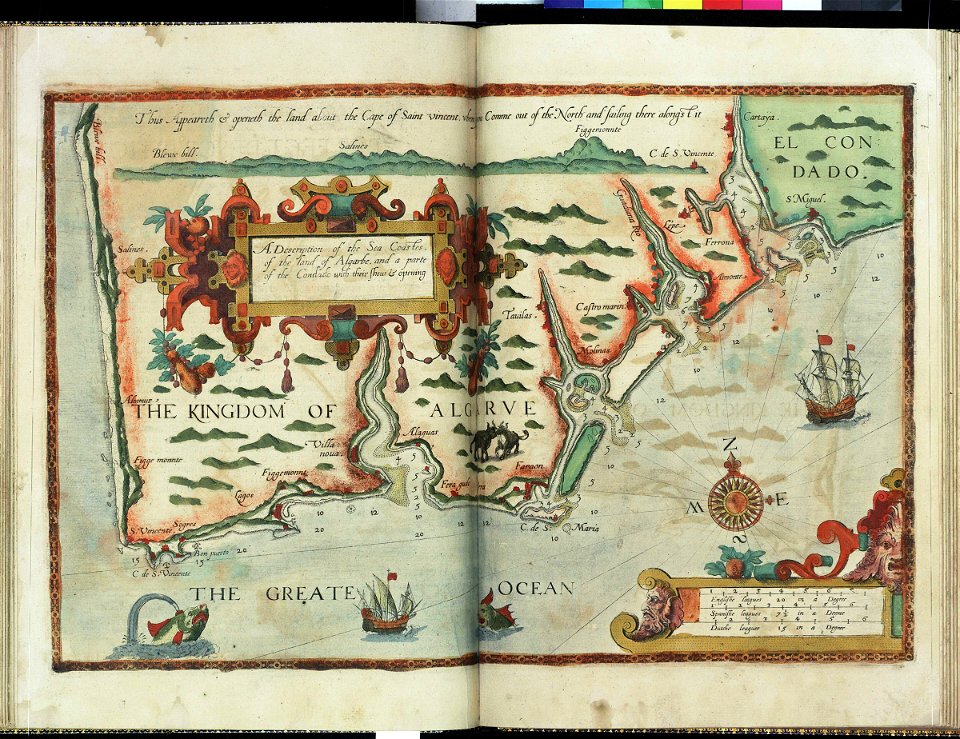
charts and maps of the royal museums greenwich
lucas janszoon waghenaer
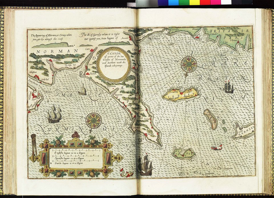
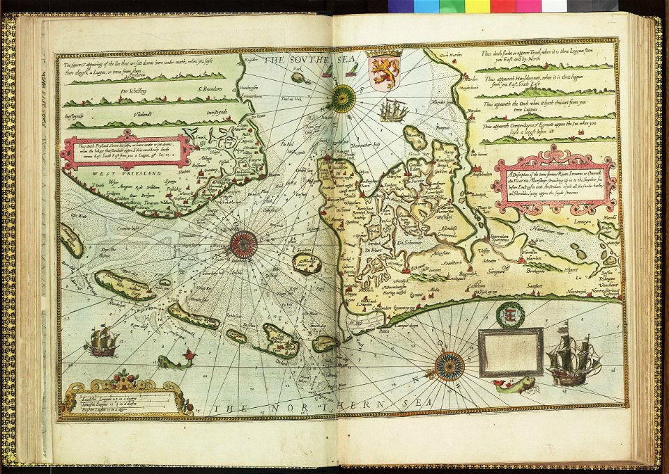
charts and maps of the royal museums greenwich
lucas janszoon waghenaer
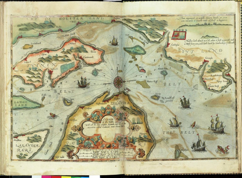
charts and maps of the royal museums greenwich
lucas janszoon waghenaer
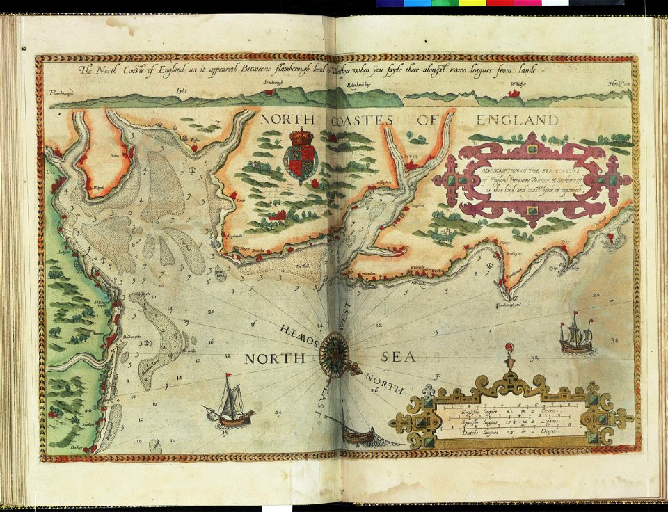
charts and maps of the royal museums greenwich
lucas janszoon waghenaer
charts and maps of the royal museums greenwich
lucas janszoon waghenaer
charts and maps of the royal museums greenwich
lucas janszoon waghenaer
bibliothèque municipale de reims
port of dieppe
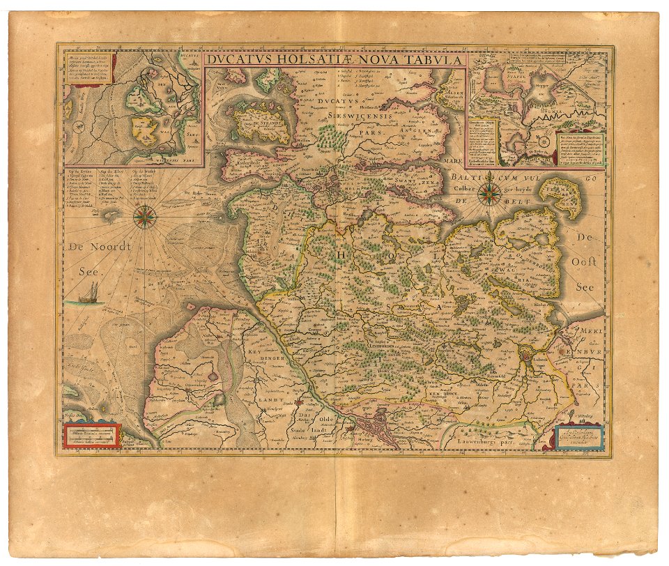
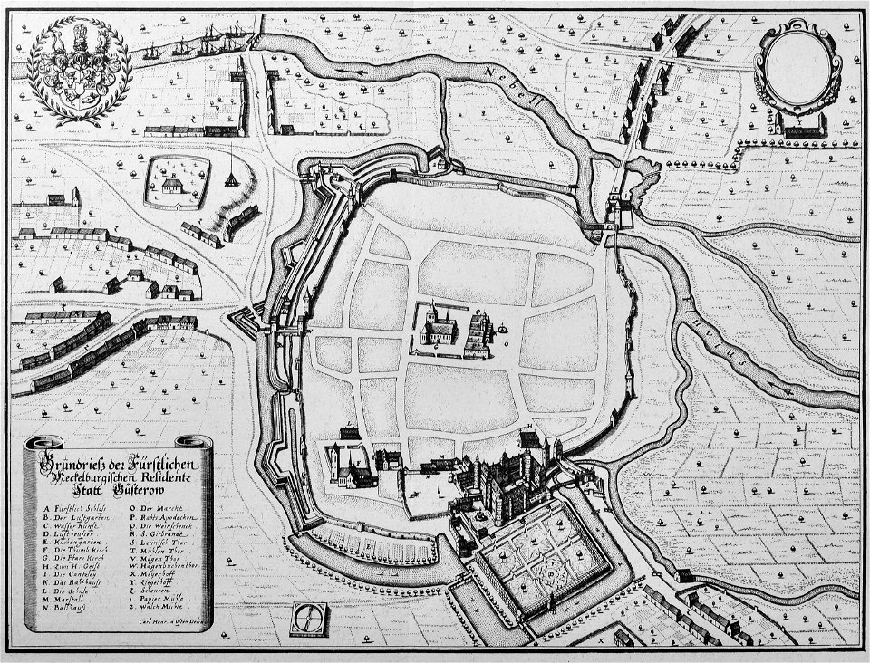
engravings of topographia saxoniae inferioris
güstrow in the 17th century
8401 - 8500 of 33,167
Next page
/ 332